
Our Regions
Our Shareholders - The Communities

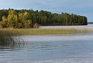
Northern Village of Green Lake
reen Lake is a predominantly Métis northern village in northwest Saskatchewan, located at the junction of Highways 55 and 155 and acting as a key southern gateway to road‑access northern communities. Established as a fur‑trade post in 1782, it became an important hub on the Fort Carlton–Green Lake trail, moving pemmican and furs between northern waterways and southern depots and anchoring a long‑standing Métis presence.
Over time, Green Lake added farming and forestry to traditional hunting, trapping, and fishing, including a provincially backed training farm that reinforced its role as a Métis agricultural community with access to significant surrounding lands.
With a 2021 population of about 400 people, the village now combines that historic role with economic and tourism potential tied to its strategic highway location, community land base, and natural assets, offering a campground and attracting visitors for its fishing and outdoor recreation on Green Lake.
Northern Village of Beauval
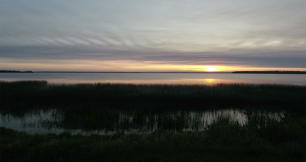
Beauval, or “beau val” (beautiful valley in French) and known in Cree as sîpîsisihk, is a predominantly Cree‑Métis northern village nestled along the Beaver River in northwestern Saskatchewan, where Indigenous travel routes, mission activity, and the fur trade gradually shaped a permanent community over the early 1900s.
Growing first around a Roman Catholic mission, freighting and trading post serving trappers and fishers using the Beaver River and overland trails, Beauval became an important stop on the historic corridor linking Île‑à‑la‑Crosse, English River, and other northern communities long before modern highways were pushed through. With local self‑government formalized in 1969 and a population now in the high hundreds, it has evolved into a small but active service centre at the junction of Highways 155 and 165, supporting residents, nearby First Nations, and travellers heading toward places like Pinehouse and Patuanak.
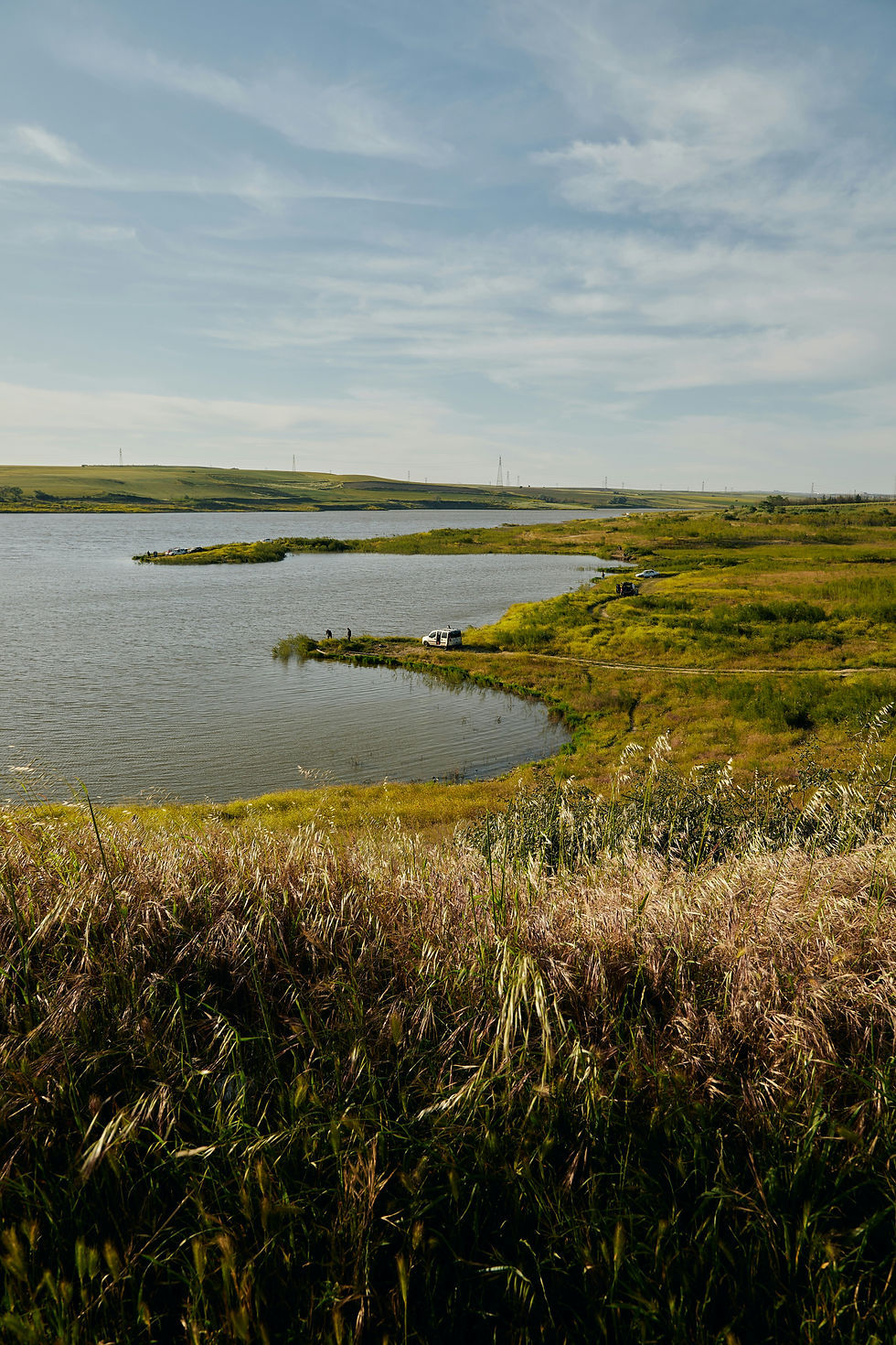
Today Beauval’s location on the banks of the Beaver River, across from the broader English River area, still anchors a way of life that blends wage work with land‑based activities, while nearby Lac La Plonge a clear, well‑known fishing lake just a few kilometres away reinforces its role as a scenic northern gateway for locals, anglers, and visitors.

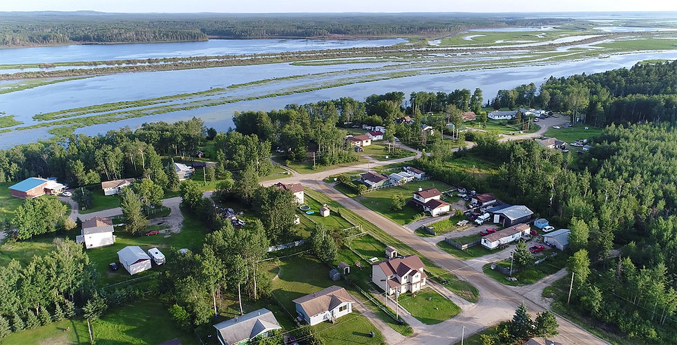
Northern Village of Pinehouse
Pinehouse is a predominantly Métis/Cree northern village on the west shore of Pinehouse Lake in Treaty 10 territory in north‑central Saskatchewan, rooted in the Cree‑named kinêpiko‑sâkahikan (“Snake Lake”), a place long used by Dene, Cree, and Métis families for hunting, trapping, and fishing. Emerging from fur‑trade posts in the late 1700s and a Hudson’s Bay Company post active into the early 1900s, the modern settlement coalesced in the 1940s around a church (1944), store, and school (1948), and was officially renamed from Snake Lake to Pinehouse Lake in 1954, with road access arriving only in 1977 and grid power in 1984.
Today the community numbers roughly 1,400–1,500 residents, the vast majority identifying as Métis/Cree, with a young population and continued use of Cree and Michif alongside English. Pinehouse’s economy blends land‑based livelihoods; hunting, fishing, trapping, and gathering, with wage employment and business opportunities linked to nearby uranium mines, formalized in collaboration agreements with industry partners and reflected in local contracting, public‑sector jobs, and small businesses.
The village has developed key services and institutions, including schools, a health clinic, municipal offices, a Roman Catholic church, recreation facilities, and active local governance through the Northern Village of Pinehouse and Kineepik Métis Local 9 Inc., all grounded in strong cultural practices such as Elders’ gatherings and youth land‑based camps that reinforce language, wahkohtowin (kinship and responsibility), and deep ties to the land while the community navigates ongoing resource development on its own terms.
Patuanak
The Northern Hamlet of Patuanak is a small municipal community at the end of Highway 918, about 90 km north of Beauval on the Churchill River, adjacent to but separate from the Wapachewunak 192D reserve of English River First Nation.
It forms the non‑reserve part of the wider Patuanak area, with its own mayor and council, and had a 2021 population of about 60 residents in just over two dozen occupied dwellings.
Rooted in a Dene settlement and former Hudson’s Bay Company fur‑buying centre, the hamlet remains closely tied to the neighbouring First Nation for services and employment, while many residents continue hunting, fishing, and trapping on surrounding lands, keeping a strong Dene cultural and land‑based identity despite its very small municipal size.
Ile-A-La-Crosse
Île‑à‑la‑Crosse is a historic Métis community in northwestern Saskatchewan, established in the 1770s as a major fur‑trade centre on a peninsula reaching into Lac Île‑à‑la‑Crosse, linked to the Churchill, Beaver, and Canoe river systems.
Once an important Hudson’s Bay Company administrative hub and heart of a vibrant Métis homeland, it is associated with the family of Louis Riel, his sister Sara Riel’s mission work, and the wider fur‑trade world that included women like Charlotte Small and mapmaker David Thompson.
Today, Île‑à‑la‑Crosse serves as a regional service centre with two large retail stores, a CFIA‑approved fish processing plant, a large regional hospital integrated with Rossignol High School and community services, and a separate elementary school, combining deep historical significance with modern health, education, and economic roles in the northwest.
Buffalo Narrows
Buffalo Narrows (Plains Cree: mostoso-wapâsihk) is a northern village in northwest Saskatchewan located at the narrow channel between Peter Pond and Churchill Lakes, long used by Dene, Cree, and Métis peoples as a rich fishing, hunting, and travel corridor.
Rooted in this history and later shaped by trapping, commercial fishing, and mink ranching, the community has grown into a regional service and education centre linked by paved Highway 155 and a modern airport, while still maintaining strong land-based traditions.
Today, Buffalo Narrows highlights its tourism potential with extensive lakeshore, long sandy beaches, and excellent sport fishing, supporting local lodges, guesthouses, and outfitters alongside fuel and service centres, retail stores, and a modern airport.

Northern Village of La Loche
La Loche is a northern Saskatchewan community on the south shore of Lac La Loche, historically rooted at the southern end of the legendary Methye (Portage La Loche) fur‑trade route. It forms a twin centre with the adjacent Clearwater River Dene Nation, reflecting longstanding Denesuline and Métis presence on these lands since time immemorial.
Today, La Loche functions as a regional service hub with schools, health services, retail businesses, and public facilities serving both municipal and First Nation residents. The community’s economy blends public‑sector employment, land‑based activities, and work linked to nearby resource development.
La Loche’s location beside Clearwater River Provincial Park and the Canadian Heritage Clearwater River positions it as a gateway for visitors seeking the boreal forest, Dene and Métis culture, and the chance to experience the historic Methye Portage, offering strong tourism potential alongside its deep historical and cultural significance.